


You will learn how to get access to, process, interpret and model radar interferometric (InSAR) data to study crustal deformation caused by earthquakes, volcanic inflation, tectonic strain or anthropogenic processes.
The main part will be taught in a 1-week-block course before the semester, plus some additional seminars during the semester. After familiarizing yourself with the processing routines you will pursue a personal project study during the semester and deliver a report on it.
- Kursleiter*in: Dr. Sabrina Metzger
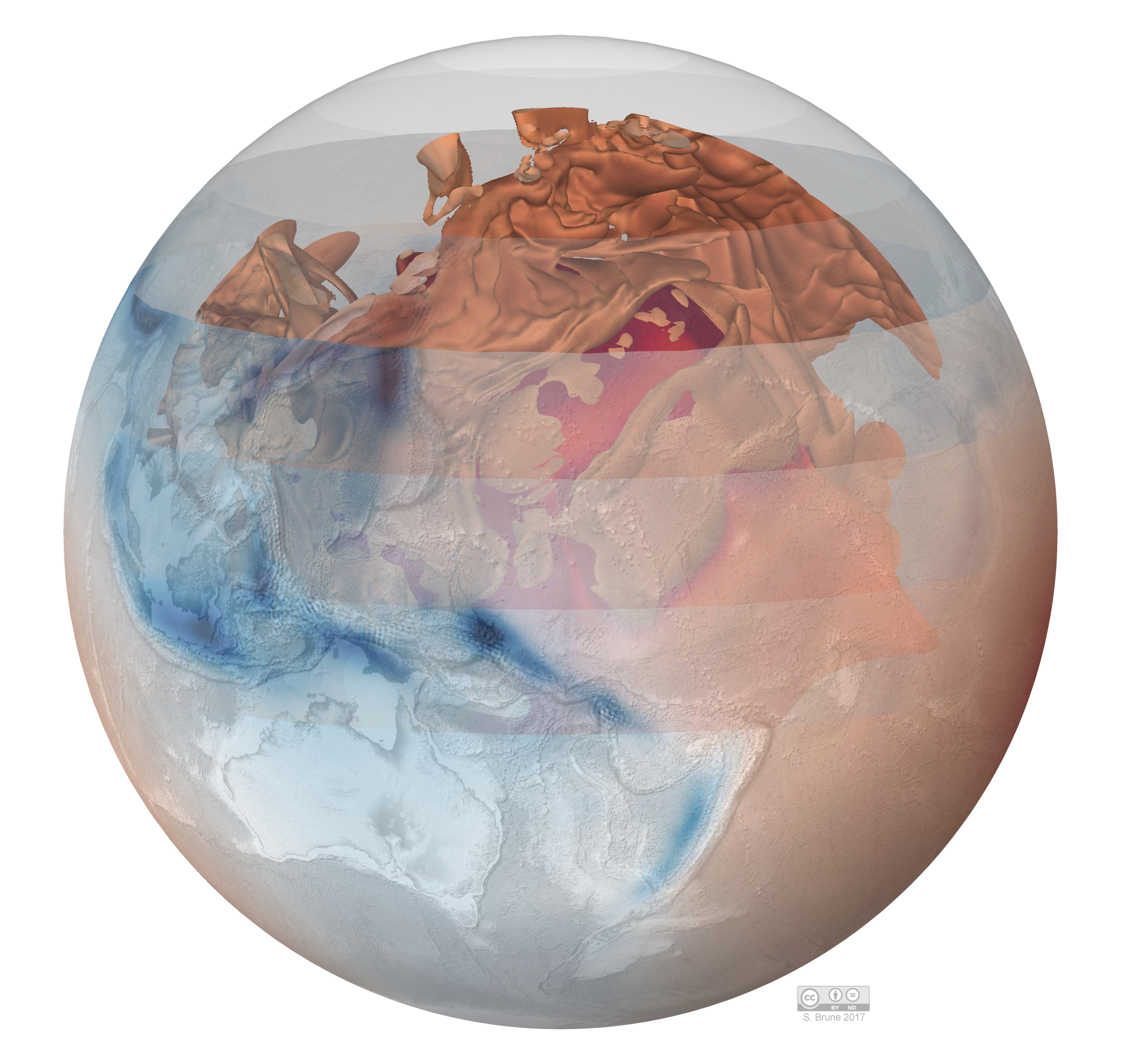
Das Modul vermittelt grundlegende Kenntnisse über die physikalische Beschreibung der tiefen Erde und die Beziehung zwischen Materialeigenschaften, geophysikalischen Messgrößen, Struktur und Dynamik des tiefen Erdinneren. Wir werden grundlegende Beobachtungen, Modelle und Labortechniken an konkreten Beispielen erläutern und diskutieren.
The module provides basic knowledge of the physical description of the deep Earth and the relationship between material properties, geophysical observables, structure and dynamics of Earth's deep interior. We will explain and discuss basic observations, models and laboratory techniques using concrete examples.
- Kursleiter*in: Sascha Brune
- Kursleiter*in: Dr. Sergey Lobanov
- Kursleiter*in: Sergey Lobanov
- Kursleiter*in: Christoph Sens-Schönfelder