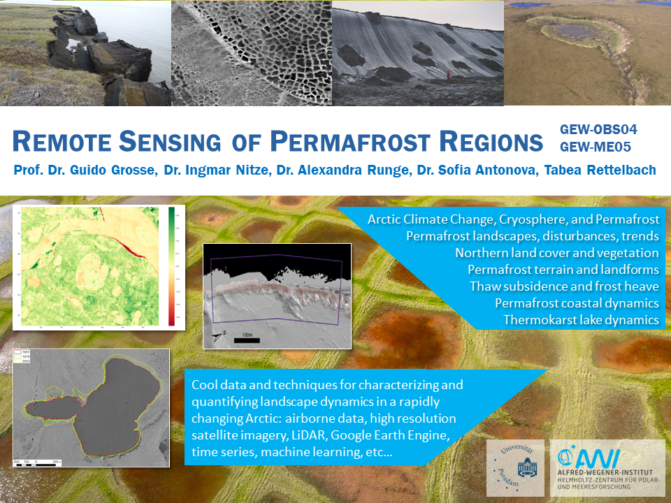
Module Content: The MSc module provides an insight into remote sensing and spatial data analysis methods relevant for the characterization and change analysis of permafrost regions. The methods cover different spectral ranges, spatial resolutions, platforms, and processing techniques. Basic knowledge of remotely detectable characteristics and landscape processes caused by permafrost formation, seasonal freeze-thaw processes, and permafrost thaws will be provided. An independent project topic will be worked on and presented in the seminar.
Module Qualification Goals: Students understand the remotely detectable properties and dynamics of permafrost regions. They have in-depth knowledge of data processing methods and their applications for permafrost regions. They are able to independently perform an image processing project and present the results.
- Kursleiter*in: Prof. Dr. Guido Große
- Kursleiter*in: Dr. Bennet Juhls
- Kursleiter*in: Ingmar Nitze
- Kursleiter*in: Sara Tabea Rettelbach

- Kursleiter*in: Martin Trauth