Volcanoes and earthquakes deform on different scales.
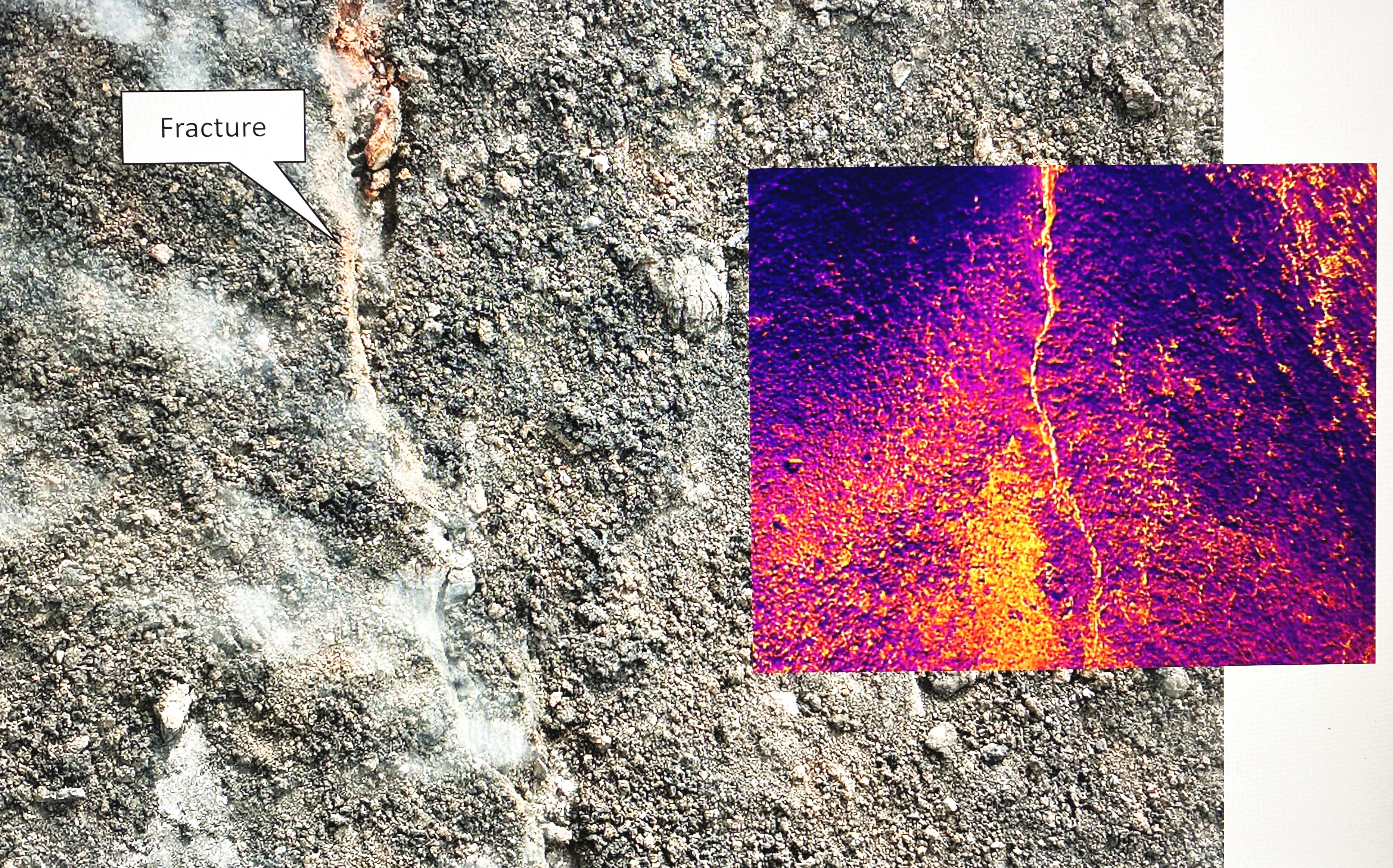
Magma chambers inflate and cause a volcano to rise. Faults are
displaced and cause surface deformation. Slow changes such as cooling,
compaction, or creep lead to major landforms on geologic time scales.
The goal of this module is to better understand deformation processes and learn basic techniques and data analysis methods for quantifying them. This module provides an introduction to volcanic and tectonic deformation processes, with a special emphasis on cross-disciplines that include geological field observations, geodetic monitoring technologies, and geophysical interpretation tools.
Geologic and geophysical field techniques as well as active and passive remote sensing methods are explained and applied to study deformation processes related to gravity tectonics, spreading, body forces, magma tectonics, dyke emplacement and cooling, and faulting associated with earthquakes and slip events. In addition, the course examines the couplings between volcanoes and tectonic processes.
The student will learn many different techniques and analysis approaches, from manual pixel and feature tracking, to image cross correlation and particle image velocimetry, to topography change and DEM of difference analysis, to radar interferometry (InSAR), and finally gain insight into basic modeling techniques.
During the course, theory and examples will be explained by the instructor, followed by group work in class and a small weekly homework assignment to practice the analysis.
The main objectives of the course are (1) to gain a better understanding of the processes and sources associated with volcanoes and earthquakes, (2) to gain an overview of commonly used and innovative methods for quantifying and analyzing deformation, and (3) to train creative thinking and selection strategies for data and methods.
Detailed materials for the online course, data and tools, weekly homeworks and results are available on the Moodle site.).
- Kursleiter*in: Prof. Thomas Walter