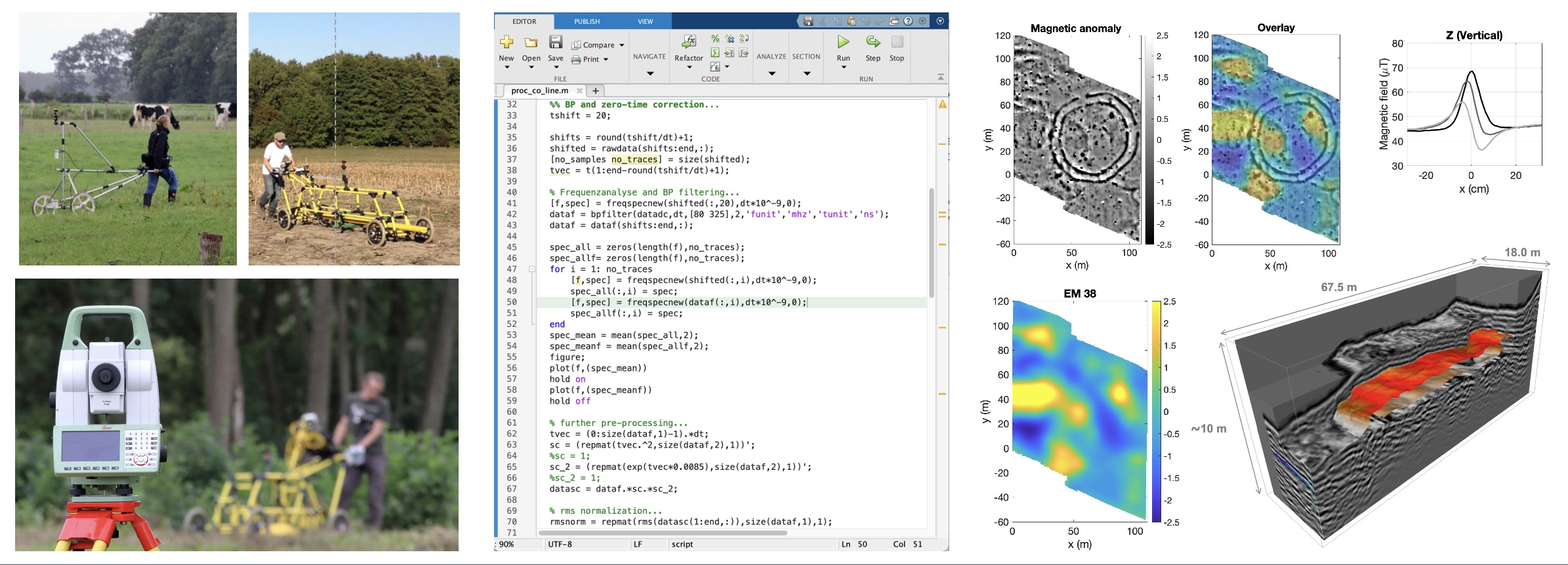
In this field course (part of the module Applied Geophysical Methods II), different geophysical methods are combined and used to solve a real-world, near-surface exploration problem. While the theoretical background is provided in various related modules and classes, respectively, the focus of this field course is on gathering some first hands-on experience in geophysical data acquisition, processing, and interpretation.
In a one-week field campaign focusing on a selected problem from, for example, archaeological prospecting, students will plan and design field experiments, and collect their own data sets using modern geophysical field equipment. After analysing and processing the recorded data using MATLAB and further special software packages, the results will be interpreted in an integrated fashion also considering available background information (e.g., from boreholes or excavations). Finally, students will summarise and report on the activities and their results. Thus, the entire project workflow from designing field experiments to presenting the results will be covered by this course.
- Kursleiter*in: Philipp Koyan
- Kursleiter*in: Jens Tronicke

