Earthquake and Volcano Deformation / Remote sensing: Processes, detection
methods and interpretation
(open for all students)
Description:
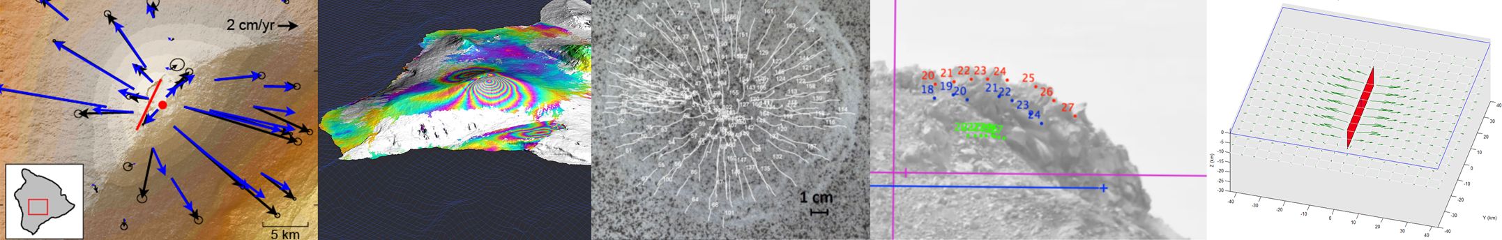
The module provides an introduction into volcano and earthquake processes, including but not limited to surface deformation, with special cross-discipline emphasizes that include geologic field observations, geodetic monitoring technologies and geophysical interpretation tools. Earthquake and Volcano processes are often analysed using similar remote sensing data streams and analysing techniques, so that the student will be trained to explore and analyse related surface changes and natural hazards. The techniques will be applied to investigate processes related to gravity tectonics, spreading, body forces, magma tectonics, dike emplacements and cooling, and faulting related deformation will be discussed. In addition, the course investigates the couplings between volcanoes and tectonic processes.
The goal of the course is a better understanding the methods used for analysing earthquakes and volcano processes occurring in volcanic and tectonic settings, as well as interactions thereof; learn the principles of measurements from remote sensing and field stations with applications examples, and the interpretation of deformation data in experimental and computational models.
Students learn about the principles, advantages and limitations of measurement methods, e.g., satellites and airborne photogrammetry, radar, InSAR and learn basic differences to common ground based methods (GPS or GNSS, tilt, levelling, EDM). Volcanic and tectonic deformation processes often include coupled events, such as changed load conditions, landslides, cooling, settlement or similar. The course provides an introduction to the interpretation of data by experimental and computer-aided models. Students will learn to work on existing datasets, but also to construct new datasets by experiments to be carried out by themselves, to analyze and interpret with the learned methodical spectrum independently.
Note: Previous participation in an InSAR course (Metzger, Bathke,
Sudhaus) is not required.
To access this cours on the Moodle platform:
Version 1: seach for the coures named "EqVolcanoSensing", enroll as guest and use the password "InSAR" (no hyphens)
Version 2: enroll as participant (self enrollment), no password required
- Kursleiter:in: PD Dr. Thomas Walter